
DRONE FARMING SERVICES
Spraying, spreading and mapping for New Zealand Farms
Overview- From blanket weed spraying to variable-rate fertiliser, seed, crop protection, imaging and mapping - if the job means difficult terrain, wet ground, or accurate application without heavy gear on the paddock, a drone is often the right tool.
01 / 10
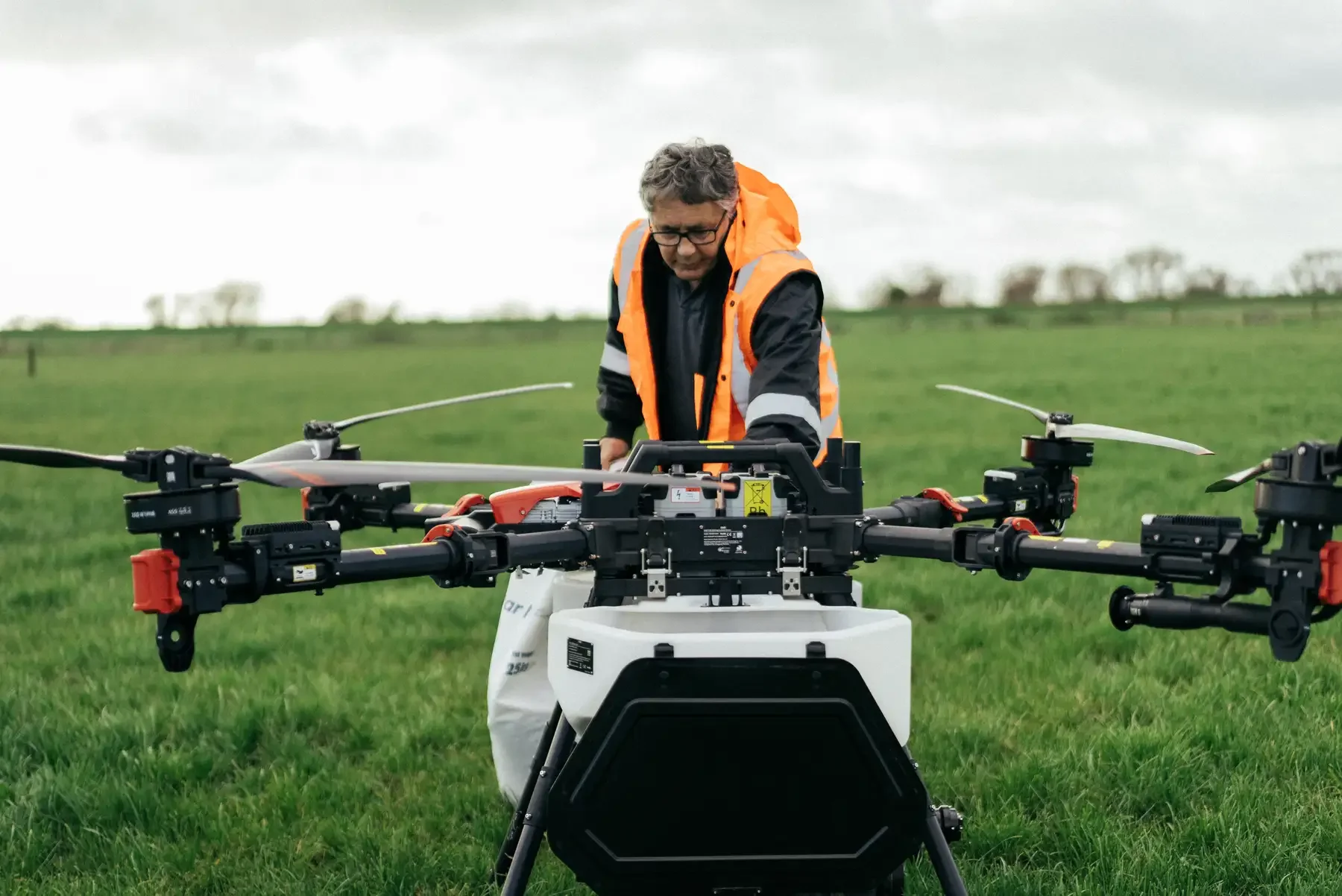
WEED AND GORSE SPRAYING
Whole paddock or just the patches — mapped, planned, sprayed, including ground you'd never take a tractor across.
WHY A DRONE · No compaction, GPS-logged records, and reach into terrain off-limits to ground gear.
01
02
03
Blanket weed spraying
Full paddock herbicide, GPS guided- consistent coverage with no missed patches or wasted overlap.
Targeted/mapped spraying
Fly and map the weeds first, then spray only what needs it- less chemical, lower cost per hectare
Steep & difficult areas
Faces, gullies, wet ground and rough terrain. A drone doesn't care about slope — if we can fly it, we can spray it.
02 / 10
FERTILIZER APPLICATION
Uniform across flat ground, variable rate where inputs need to differ — accurately, and without compaction.
WHY A DRONE · Precision GPS, variable-rate capability, fast coverage and compliant records.
01
02
03
04
Uniform spreading
Even application at a set rate, GPS-guided — no missed strips, no overlapping waste.
Variable rate
More where it's needed, less where it isn't.
Foliar fertilizer
Applied to the leaf, evenly, with the drone's downwash pushing product into the canopy.
Nitrogen — foliar & solid
Liquid foliar or solid - no compaction, no wheel tracks,
03 / 10
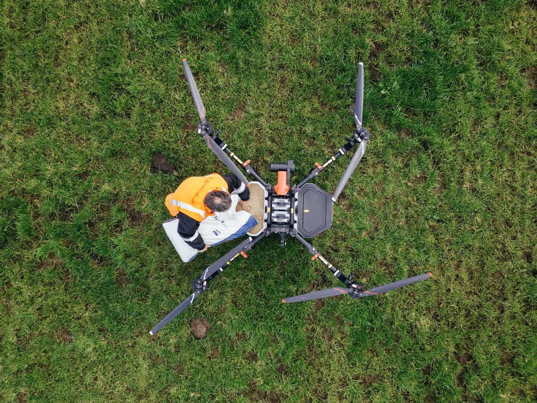
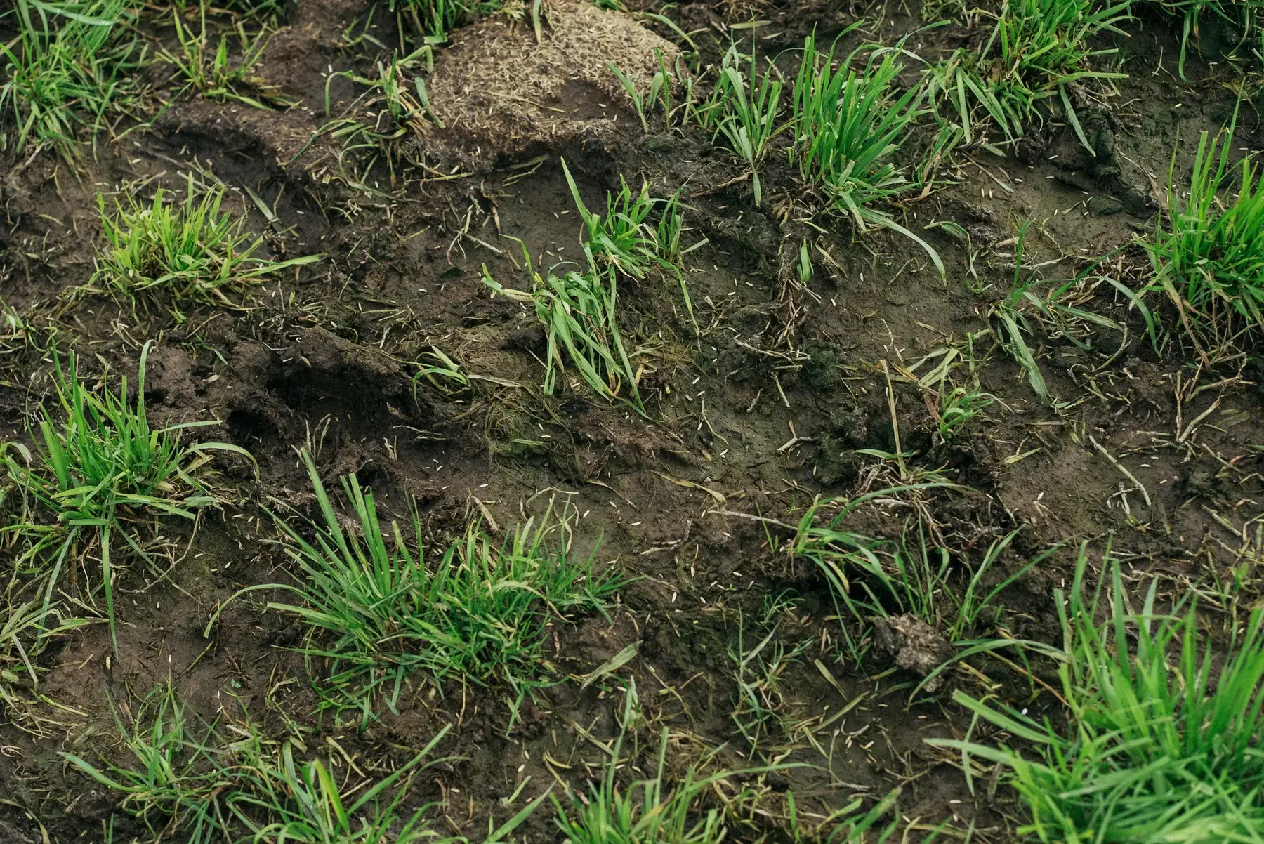
SEED SPREADING
Even distribution across flat paddocks and the steep sidelings that oversowing can skip
Species· Ryegrass, clover and more- seed rates to your spec.
01
02
03
Grass Seed
Even application at your rate - oversowing established pasture or seeding after spray-off.
Clover Seed
Light seed needs careful spreading; our systems handle small seeds accurately for consistent cover.
Oversowing steep faces & sidelines
The poorest cover and the most to gain - seed onto steep country with flat-ground accuracy.
04 / 10
BRASSICA CROP SPRAYING
Kale, turnips, swedes, rape - insect and disease protection from above, good penetration, no trampling.
WHY A DRONE · A lot of products are needed during autumn and winter where the ground is often wet and soft
01
02
03
Insecticide
White butterfly, aphids and more - downwash drives product down through the leaf canopy.
Fungicide
Protection from the air, at the right time, without crop damage or compaction.
Foliar fertilizer
Applied to the leaf, evenly, with the drone's downwash pushing product into the canopy.
05 / 10
STEEP AND DIFFICULT COUNTRY
Fertiliser, herbicide and seed onto the faces and gullies ground gear can't safely reach.
Every season you skip the steep faces, you're leaving production on the table.
01
02
03
Fertiliser on steep faces
Sidelings often have the worst productivity, partly because they're skipped. Same rates as the flat.
Seed on steep country
One of the best returns on hill country — and a job that never gets done. We get seed on.
Herbicide on difficult ground
Hard to control not because chemistry fails, but because you can't get there. We can.
06 / 10
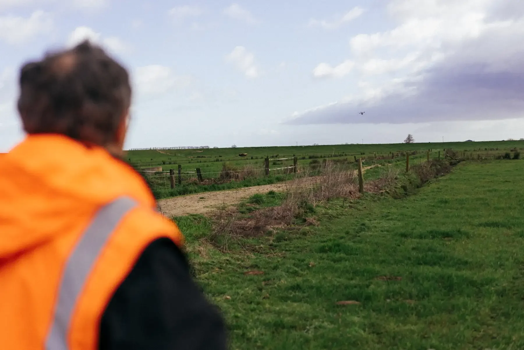
MULTISPECTURAL IMAGING
Dry-matter, pasture health and NDVI - see your feed and your problem areas from above.
DELIVERY · Georeferenced maps, compatible with common farm-management software.
01
02
03
Pasture-health mapping
Near-infrared reveals health the eye can't — poor health, bare ground, weeds and stress show clearly.
Dry-matter prediction
Estimated DM yield per paddock — what's got feed in front of it, before stock graze it down.
NDVI mapping
A standard, objective measure of condition you can track and compare across seasons.
07 / 10
FARM MAPPING
Accurate, current maps of fences, features and paddock areas — digital or printed for the wall.
FORMATS · KMZ for Google Earth, GIS files for farm software, or labelled wall prints.
01
02
03
Fencing & gateways
Fence lines and gateways mapped from the air - current layout for planning and briefings.
Feature mapping
Troughs, races, waterways, shelter belts, yards - anything relevant to how you run the place.
Digital maps
KMZ or GIS files - georeferenced and ready as a base layer for other spatial data.
Paddock area measurement
04
Accurate areas for paddocks, races and blocks - better than satellite estimates.
08 / 10
STOCK COUNTING
Faster than mustering, without disturbing stock — across as many paddocks as you need in a session.
Note- Best when stock are spread out — pairs well with a mapping or imaging flight.
01
02
Aerial Headcount
Sheep, cattle, deer or other stock counted from drone footage — per paddock or per mob.
Multi-paddock counts
Whole-property headcount or a breakdown by mob in one session — reconcile after weaning or drafting.
Tell us about your block
Send us your crop, the job, and roughly where you are. We’ll come and give it a look and tell you straight whether a drone’s the right tool
PREFER TO TALK? CALL JOHN DIRECT